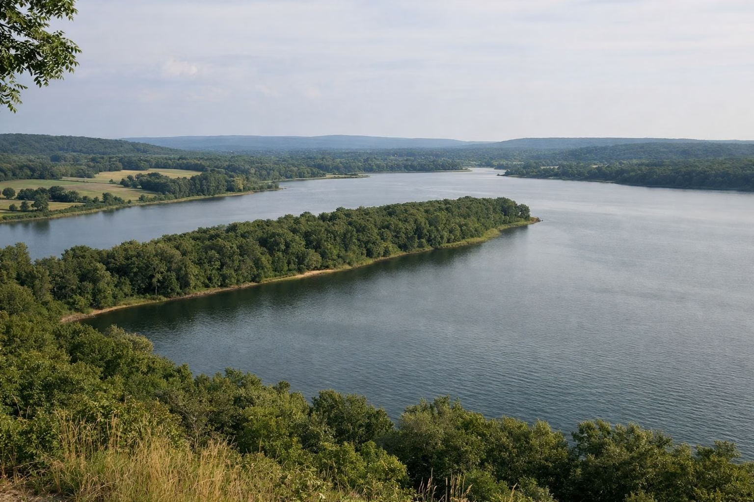
Spruce Run Park Map
NJDEP publishes one official map of Spruce Run Recreation Area, linked on its park page as both the "Area Map" and the "Trail Map." It shows the reservoir, Picnic Areas 1 to 4, the group picnic area, the beach area, the boat launch and cartop launch, boat rental, the campground and the summer boat storage area, plus the 2.6-mile Highlands Trail section. A separate campground map shows every site, the shelters, showers and the dump station.
The Official Maps
What the Area Map Shows
The area map's legend has more than 30 symbols. These are the ones most visitors look for:
- Picnic: Picnic Areas 1, 2, 3 and 4, the Group Picnic Area, picnic shelters, playgrounds and restrooms.
- Water: the boat launch, the cartop boat launch, boat rental, motorized boating, canoeing, sailing and fishing symbols, and the Spruce Run Beach Area.
- Camping: the Spruce Run Campground, camp shelters, showers and the trailer sanitary station.
- Trails: the Highlands Trail (2.6 mi), a connector trail and paved paths.
- Other: the park office, a visitor contact station, first aid, drinking water, basketball courts, the bird blind, bow hunting areas, parking lots and the summer boat storage area.
The map also places the park among the roads around it, Routes 31, 513 and 173 and Interstate 78, and shows its neighbors: the Clinton Wildlife Management Area and an NJ Fish and Wildlife hunter training area.
The Campground Map
NJDEP's campground map (dated August 2025) lays out the campground on its peninsula. It marks tent-only, tent/trailer and trailer-with-hookup sites, waterfront sites, shelters A, B and C, two shower and dish-washing buildings, the dump station, a picnic pavilion, playground, extra parking and the canoe and kayak path. Its second page lists the campground rules and cancellation policy (camping).
Hunting Maps
Hunting has its own maps. NJDEP posts a bow hunting area map for Spruce Run, plus a waterfowl hunting map with the rules for it (fishing and hunting).
Warren Highlands Trail Maps
For the 16-mile Warren Highlands Trail section that the park manages in Warren County, NJDEP posts an overview map and six section maps. Print your own copies; NJDEP asks hikers to bring one (hiking).
Using the Maps
- Download the PDFs before you go. All of them are linked from the official Spruce Run page on dep.nj.gov.
- The park office (908-638-8572) also has maps, including hunting maps.
- Water levels change. The reservoir rises and falls with rainfall and with downstream demand for drinking water, so the shoreline on a given day may not match the map.
Spruce Run Park Map FAQ
Is there a map of Spruce Run Recreation Area?
Yes. NJDEP's area map PDF, linked from the official park page as both the area map and the trail map, shows picnic areas, the boat launch, beach, campground and trail.
Where can I find the Spruce Run campground map?
NJDEP publishes a campground map PDF (August 2025) on its Spruce Run page. It shows every site type, the shelters, showers, dump station and campground rules.
How many picnic areas are at Spruce Run?
NJDEP lists four first-come, first-served picnic areas, numbered 1 to 4, plus a reservable group picnic area for up to 200 people.
Facts checked against the NJ State Parks page for Spruce Run Recreation Area on October 24, 2026.